Canada Walks
Canada Walks promotes the value of walking and walkability – follow us on Facebook and Twitter for walking news. Our past work included research on walkability and its benefits, and collaboration with local, regional, and national stakeholders to implement walkability policies and initiatives. Advocacy efforts by Green Communities Canada through Canada Walks was instrumental in leading up to the announcement of the country’s first ever National Active Transportation Strategy and Fund in 2021.
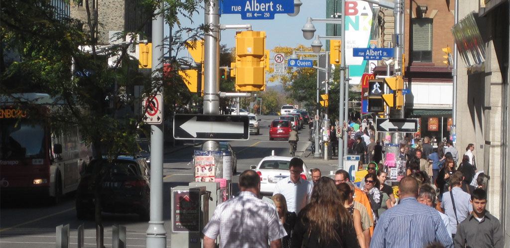
Walkability:
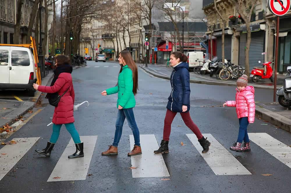
Walkability is a measure of how friendly an area is to walking. Walkable communities/streets provide:
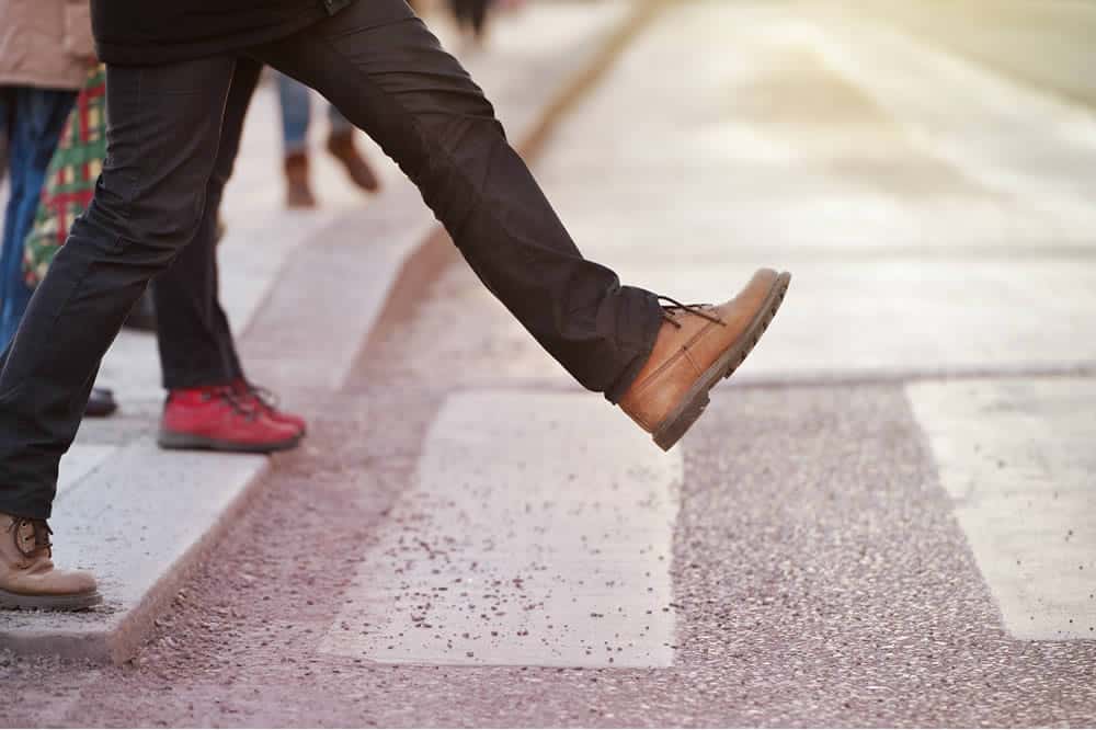
A great walking experience
Safety
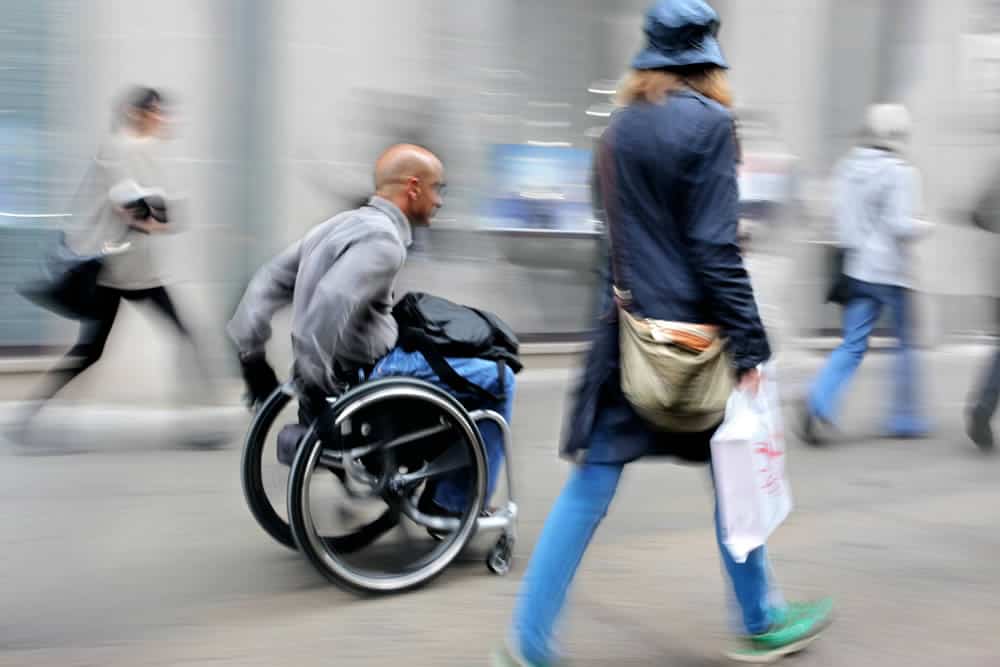
Accessibility

Connections
Comfort

Walkable Destinations
Resources By Green Communities Canada:
Green Communities Canada along with partners have completed several studies and surveys in various communities across the country. We have also developed toolkits and resources to help improve walkability. Here are a few:

Canada Walks, with the assistance of Ryerson University, implemented a survey in 2015 to investigate the practices, resources, and needs of groups and organizations from across the country who promote walking and plan for walkability.

This guide helps schools and residents improve traffic safety in their neighbourhoods. It was developed by Green Communities Canada in partnership with Toronto Centre for Active Transportation, University of Toronto School of the Environment, Toronto Public Health, Toronto District School Board, and CultureLink Settlement & Community Services.
Frequency, Duration, & Destinations: GCC-CAA Walking Survey results

Case Studies
Walkability Roadshow Case Studies
The Walkability Roadshow, spearheaded by Green Communities Canada and Walk21, demonstrated how walkability can be achieved in suburban and rural communities, as well as urban centres.
Alberta


Ontario


walkON Walkability Toolkit, updated January 2009 as part of the Ontario Communities walkON project:

What you can do:
As a municipality
- Sign the International Charter for Walking. See the list of Canadian municipalities that have already signed.
- Adopt a walking strategy and walk friendly development approvals.
- Hire a pedestrian planner.
- Establish an advisory committee.
As an individual
- Walk every day or as often as you can.
- Learn how your community can become a great place to walk.
- Learn the benefits of walking and walkability.
- Walk your children to school and find out how your school can promote active school travel.
- Talk to your elected representatives. Write letters to the editor.
- Find a local group that supports walking. Or start one.
As a community organization
- Educate yourselves and your community about walkability and its benefits.
- Engage your community with:
- workshops, outreach tables, media (see workshop guide from Heart and Stroke Foundation)
- public walking tours that celebrate local history, architecture, environment
- walking events – e.g., open streets
- walking routes – maps/signs with points of interest
- Form a walking club. Match walkers with buddies.
- Conduct walking audits, identify barriers and priorities for action.
- Talk to other community organizations and agencies and enlist their support for the walking agenda (e.g., neighbourhood groups, retail business, public health, police, seniors organizations, social organizations, cultural organizations …).
- Mount a community road-safety campaign. Refer to the Traffic Industry Research Foundation’s Community-Based Toolkit for Road Safety Campaigns.
Green Communities Canada’s other walking programs:

ONTARIO ACTIVE SCHOOL TRAVEL
More walking and wheeling to school means safer school zones, healthier children, cleaner air and better academic performance. Our Ontario Active School Travel program is working with a host of partners to reverse the decline in active school travel with proven effective tools like School Travel Planning and the Walking School Bus.
Walk Friendly Ontario
WALK Friendly Ontario was a recognition program that encouraged municipalities to create and improve spaces and places to walk by awarding Bronze, Silver, Gold or Platinum designations.